Earth,
watched closely.
Decisions, taken sooner.
From satellite pixels to the field decisions of a forester, a city planner, a railway engineer CASSIA turns Earth observation into intelligence you can act on.
Biodiversity is declining faster than we can survey it. Cities are warming. Soils are eroding. We believe better decisions begin with better observation continuous, standardized, available to everyone responsible for the land.
Our solutions.
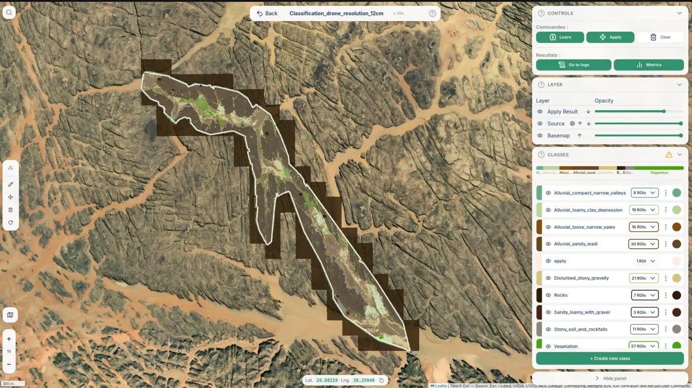
The CASSIA Platform
Our web application for EO, ML classification and geospatial analysis maps, dashboards, indicators and alerts.
 →
02
Agriculture
→
02
Agriculture
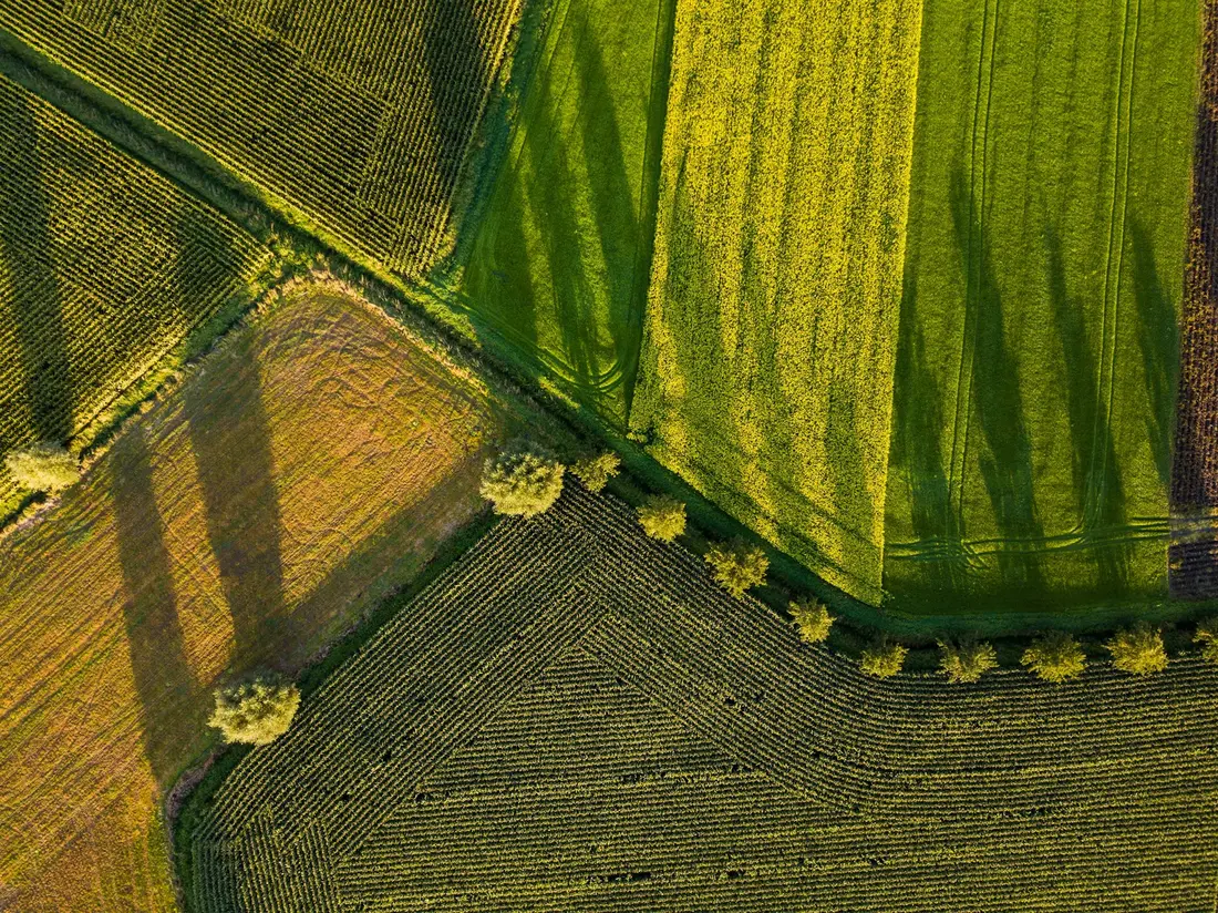
CASSIA Agri
Crop vigor, irrigation stress and seasonal dynamics at field resolution.
 →
03
Biodiversity
→
03
Biodiversity
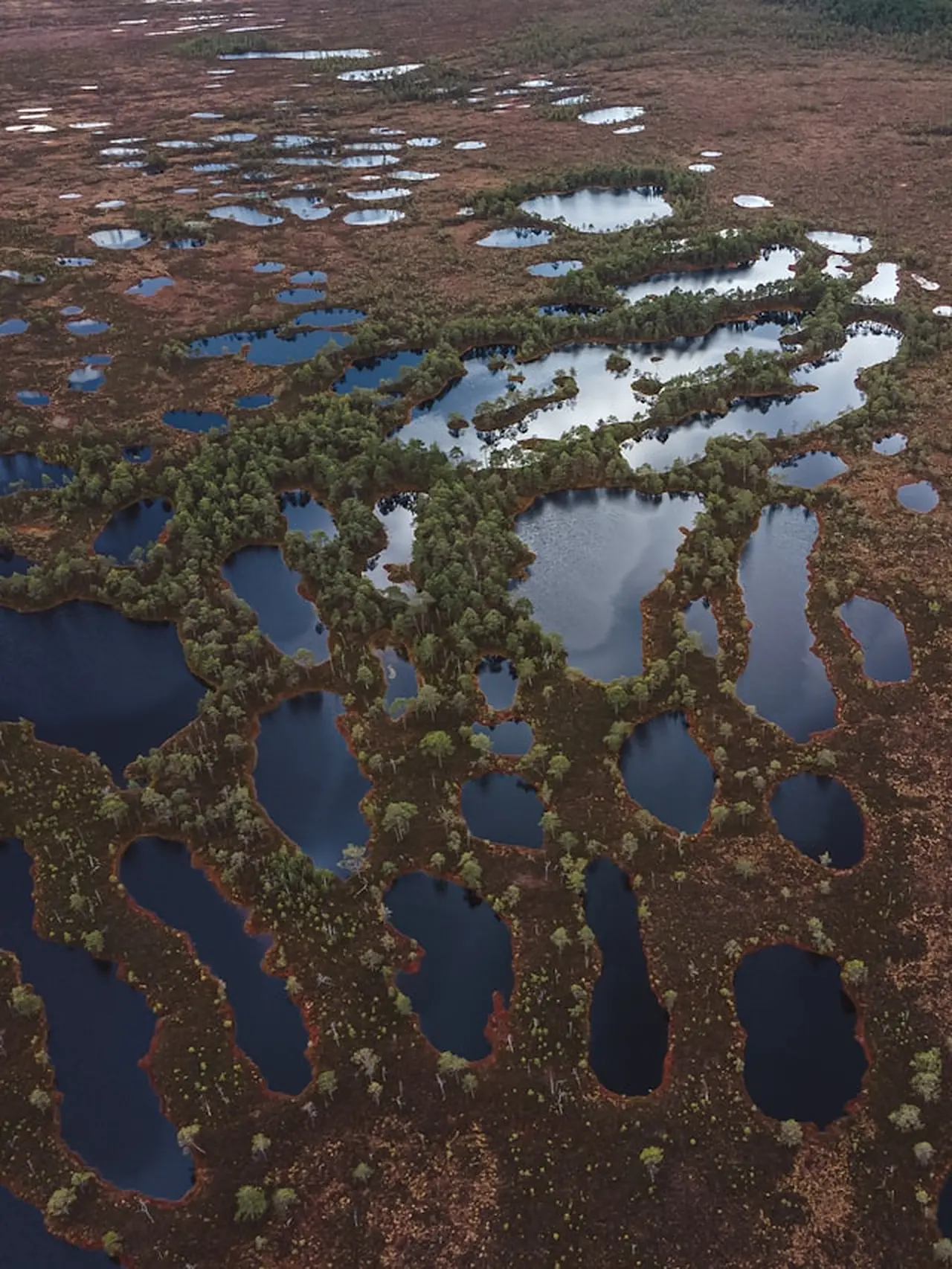
Biodiversity & Habitat
Habitat classification, ecological connectivity, conservation status.
 →
04
Soils & Carbon
→
04
Soils & Carbon
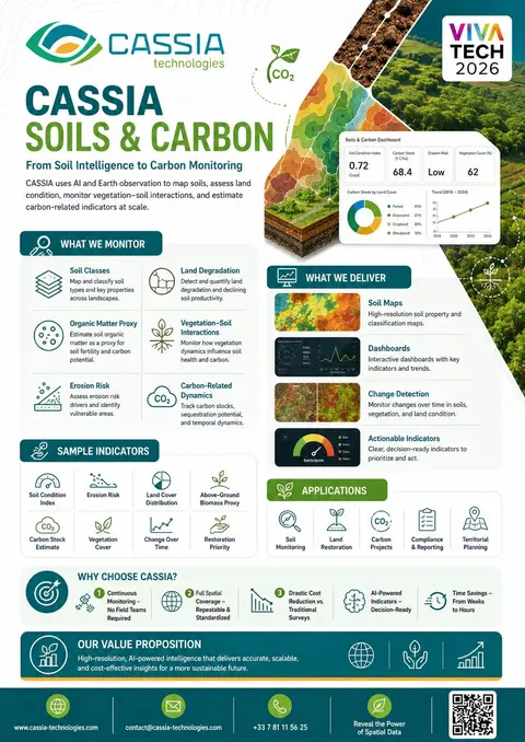
Soils & Carbon
From soil intelligence to carbon stock estimation at scale.
 →
05
Urban Ecosystems
→
05
Urban Ecosystems
CASSIA Urban
Canopy coverage, vegetation health and green-space fragmentation in cities.
 →
06
Infrastructure
→
06
Infrastructure
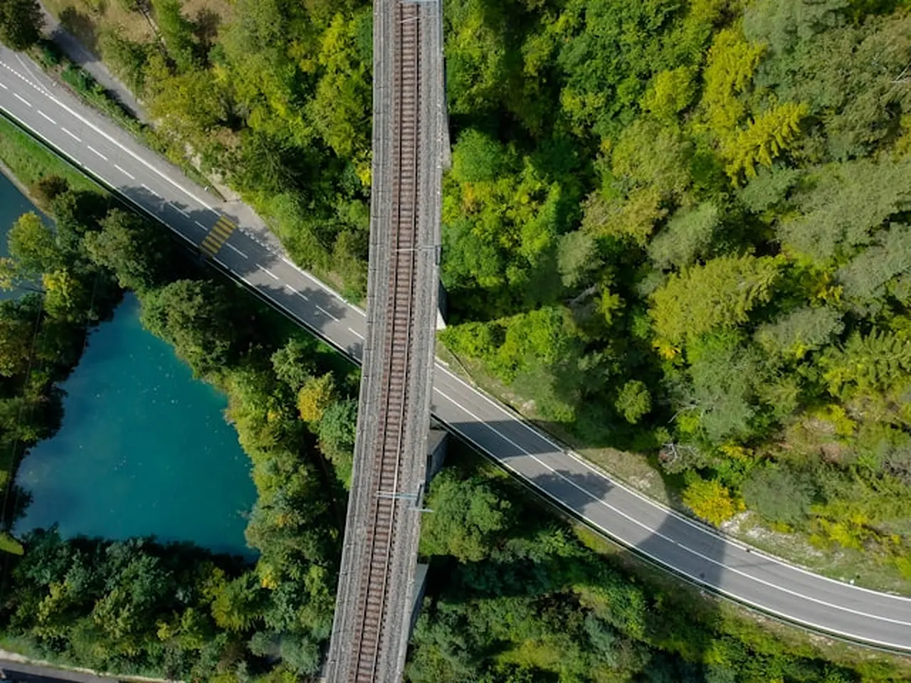
Linear Infrastructure
Ecological management of roads, railways and canals at corridor scale.
 →
07
Technology layer
→
07
Technology layer
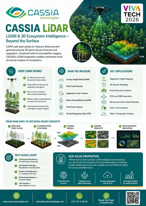
CASSIA LiDAR
3D ecosystem intelligence the vertical dimension under every product.
 →
→
A traditional survey takes weeks.
A satellite pass takes a morning.
Continuous monitoring
No field teams required. Satellites pass overhead every few days.
Full spatial coverage
Wall-to-wall, repeatable, standardized not a sample of plots.
Drastic cost reduction
A fraction of what traditional surveys cost and far more often.
AI-powered indicators
Decision-ready metrics not raw rasters you have to interpret.
Weeks → hours
From data acquisition to actionable map, in a single working day.
From pixels
to decisions.
Acquire
Satellite, drone, LiDAR. Multiple sensors fused into one stack.
Classify
AI models trained on field-validated samples produce thematic maps.
Quantify
Science-based indicators tracked over time and across territories.
Decide
Dashboards, alerts and reports tuned to each user's workflow.
Tell us about
your territory.
A 20-minute call. Bring a shapefile, a question, or just an area on a map. We'll send back a no-strings sample analysis within a week.