01
Map visualization
High-resolution multi-layer mapping.
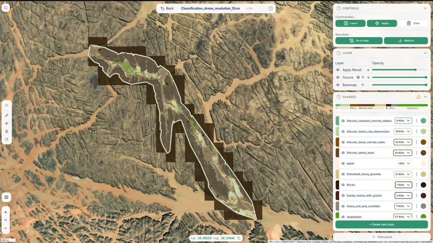
Our web application for Earth observation, machine learning classification and geospatial analysis delivering maps, dashboards, indicators and alerts. CASSIA projects can also be delivered as standalone analyses outside the platform.
High-resolution multi-layer mapping.
Per-team KPIs and trends.
Alerts on what moves over time.
Compare any two epochs.
Scheduled and reproducible.
Sharper rasters than the input.
All territories on one map.
Plug into existing GIS stacks.
A platform tenant for your team, branded to your organization.
Your sites loaded, classified and ready to explore.
Tuned to the KPIs that matter to your workflow.
Hands-on session and ongoing technical contact.
No field teams required. Satellites pass overhead every few days.
Wall-to-wall, repeatable, standardized not a sample of plots.
A fraction of what traditional surveys cost and far more often.
Decision-ready metrics not raw rasters you have to interpret.
From data acquisition to actionable map, in a single working day.
Book a guided 20-minute demo. We will load a sample territory together and show how your team would use it.